Student Projects
The Western Maryland Regional GIS Center has been a proud partner of many local and state entities to collaborate on important projects across the region. FSU students have had and continue to have the opportunity to contribute to some of these grant-funded projects both locally and state-wide:
Frostburg Fire Department GIS Service through FSU Foundation Grant
This multi-year project has allowed geography students to directly improve and modernize Frostburg’s emergency services. Using a combination of fieldwork and GIS software, students have been able to develop a web map for firefighters to utilize during emergency calls.
 |
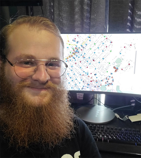 |
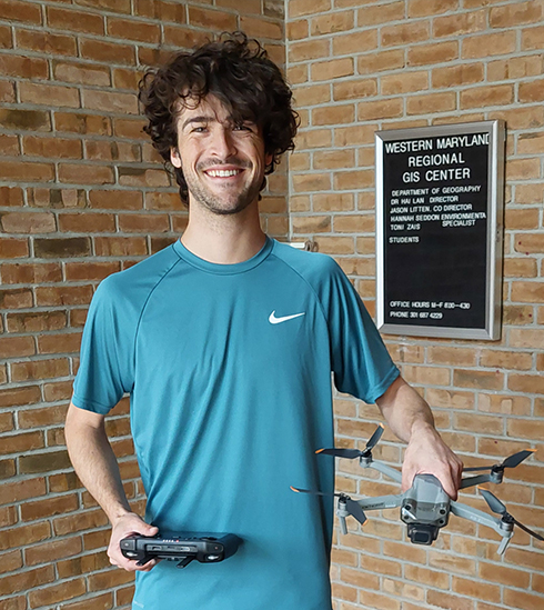
| Student worker Joe Thompson ‘24 after using a DJI Air2S drone to capture rootop photography of FSU buildings for the Frostburg Fire Department. | Student worker Sean Gizzi ‘22 pictured with the online map interface he created for the Frostburg Fire Department. |
Facilities Management and Digitizing for Garrett County Government
A student used GIS software to digitize nearly 1,000 georeferenced facility maps in Garrett County, Maryland. These digitizations were made to assist the county government and their engineers to keep a record of facility locations both in the office and in the field. This student, in a second grant-funded project with Garrett County, then created digital forms with Esri's Survey123 for county employees to use in the field.
Maryland Department of the Environment, Abandoned Mine Lands Division Geodatabase Enhancement
WMRGISC is assisting the Maryland Department of Natural Resources Abandoned Mine Lands Division with improvements and updates to their Abandoned Mine Lands (AML) inventory. WMRGISC and student interns will be working alongside MDE-AMLD on collecting water samples, GPS points, ground-truthing, remote sensing data, using drones to document, aerial photography, scan documents, permits, improve geodatabase, eAMLIS Survey123.
Potomac Riverkeeper Network
An ongoing partner with the Western Maryland Regional GIS Center, the Potomac Riverkeeper Network (PRKN) is a nonprofit organization with the mission of protecting the right to clean water for all communities who live in and rely upon the Potomac and Shenandoah watersheds. WMRGISC has collaborated with PRKN on many projects including coal waste pollution point source identification, Maryland coal ash bill consulting, and more. PRKN is currently sponsoring a student intern for the year 2025 to support their public awareness and conservation efforts through social media campaigns using GIS data and mapping.
Student Workers
In the 30 years Western Maryland Regional GIS Center has been operational, we have taken on over 45 student interns working on a variety of projects:
- Kathryn Loar (2025)
- Lina Goetz (2025)
- Logan Tokle (2024 - 2025)
- Joe Thompson (2024)
- Jason Haley (2024)
- Sean Gizzi (2022)